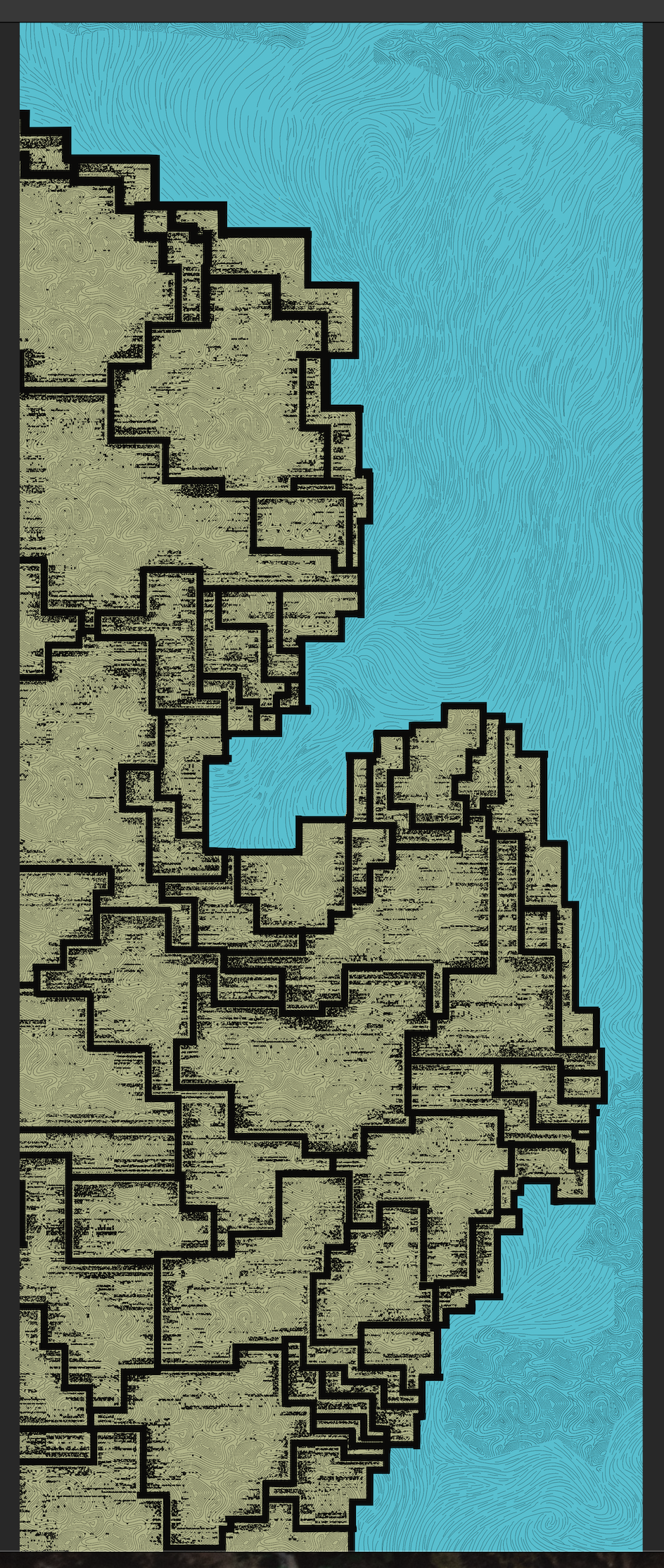
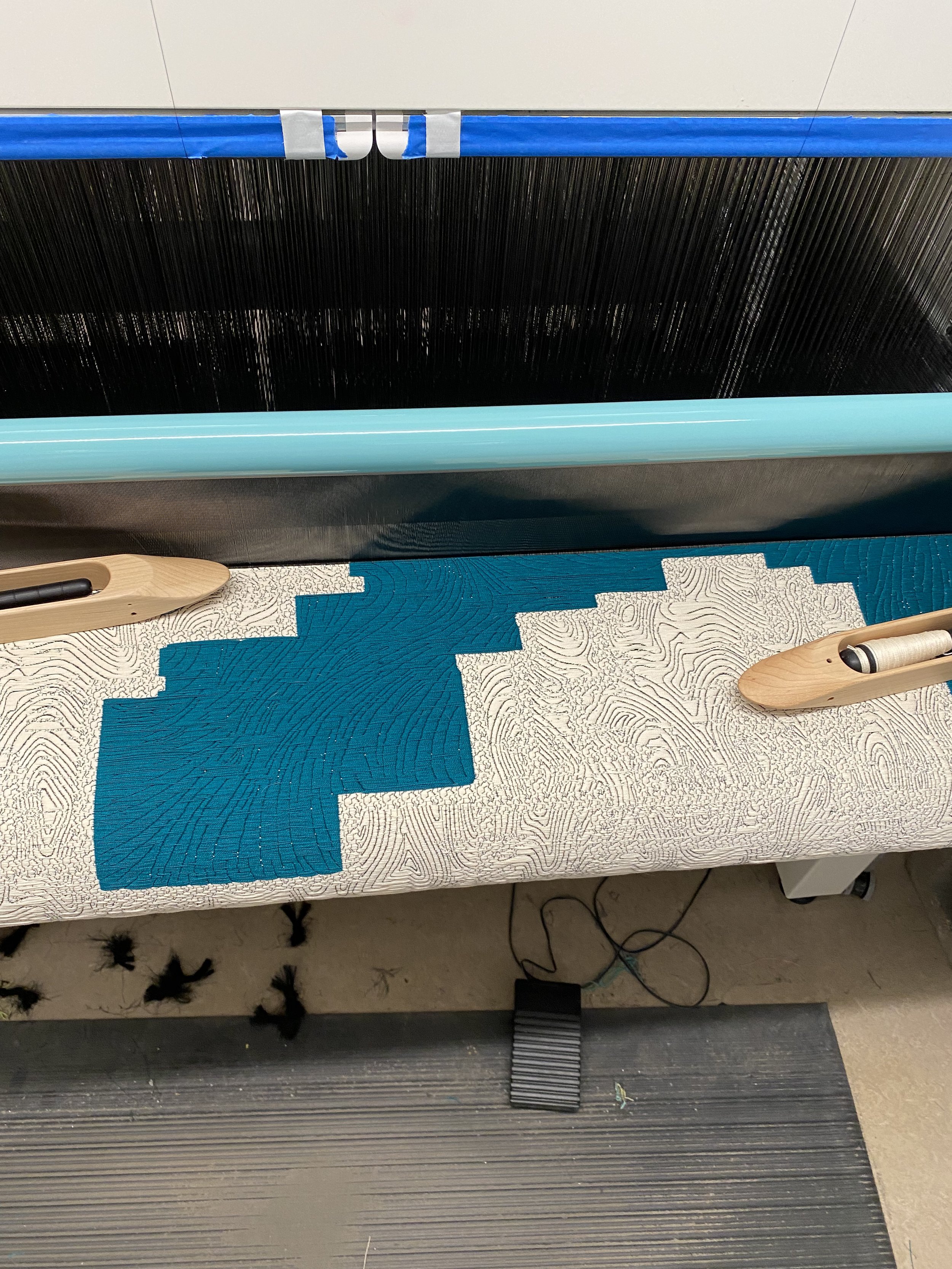
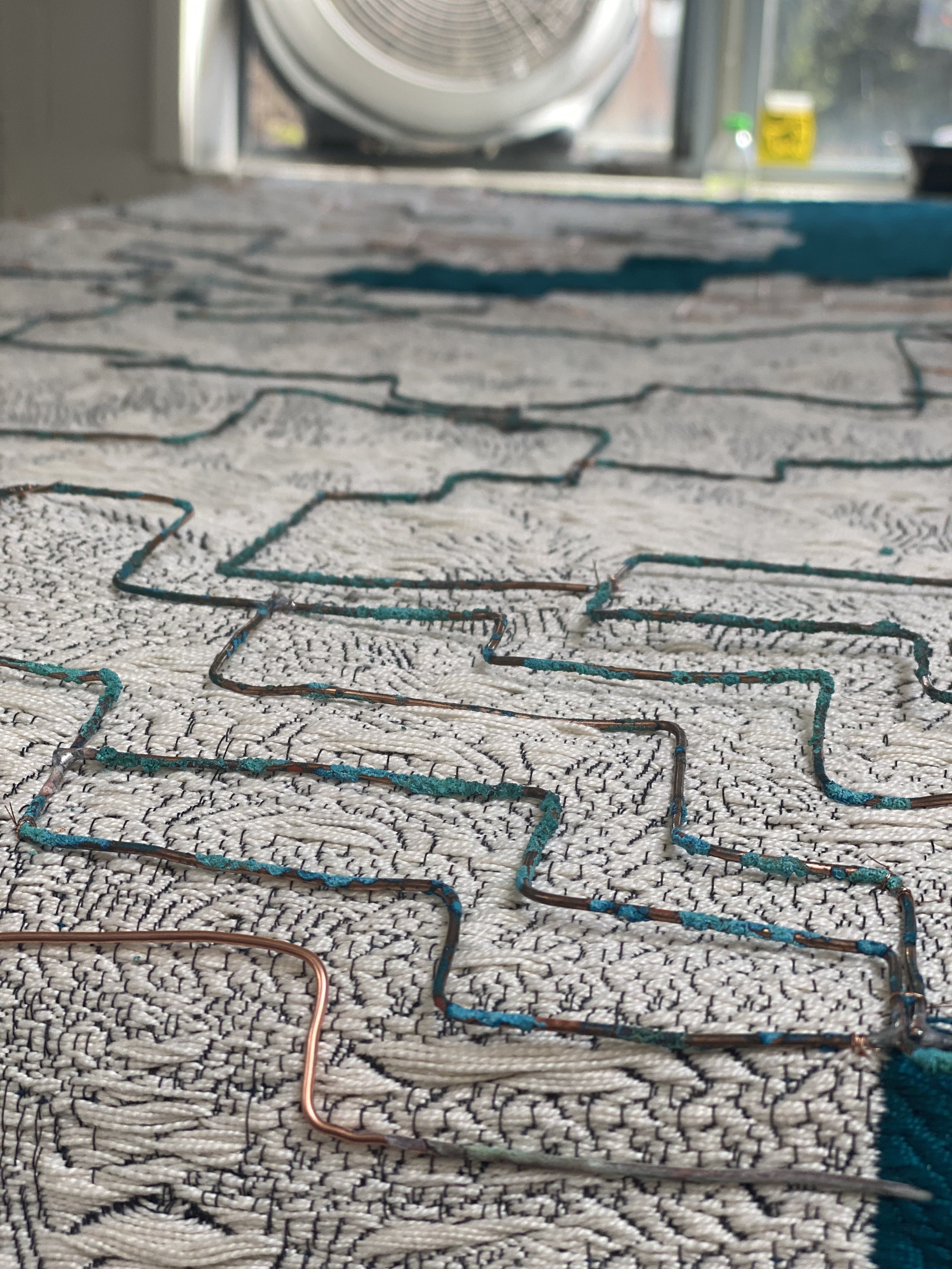
Lower Michigan’s Eastern Water Basin (2022) is a woven map of the region’s water basins and average lake current juxtaposed to documented PFAS contamination sites.


Processes used:
Map data collection and compilation into Photoshop
2 Weft weaving using TC2 Digital Jacquard Loom
Hand sewn details of copper wire
Data collected from:
https://www.glerl.noaa.gov/res/glcfs/currents/glcfs-currents-surf.html
https://www.michigan.gov/pfasresponse/investigations/sites-aoi
https://www.michigan.gov/egle/about/organization/water-resources/hydrologic-data
